 Kyoto City Guide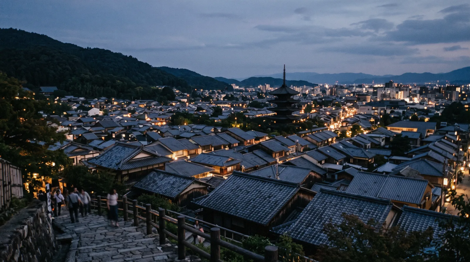
Kyoto Map
This Kyoto map holds every place this guide covers, in four categories: the paid sights, the free ones, the eating streets and the districts. Each pin carries the gate price we read off that venue's own site and links to the page that explains it. Below the map the same set appears as a text list, grouped the same way, because a list can be read and a pin cannot. The sights themselves are on things to do, and the city in our guide to what to do in Kyoto.
Quick answer What the map holds and how the city is laid out — in four lines
Kyoto is a grid laid out in 794 on a Chinese model, boxed by mountains on three sides, with the temples sitting where the flat land stops and the slope begins. The map below holds every place in this guide with its price; the list under it is the same set in text.
Key takeaways
- Three clusters do most of the work: the eastern hillside, the west around Arashiyama and the north-west pavilions
- The free pins are the crowded ones — Fushimi Inari, the bamboo path, Gion and Nishiki
- Crossing between the east and the west costs about fifty minutes by bus in the traffic of the hour everybody travels — the transport page explains why
- Every price on the map is the venue's own adult gate figure, converted at ¥160 = $1
The Map
Numbered pins, filterable by category. The list below the map is the same set in text, grouped the same way — every place links to its own page on this site and to Google Maps for directions.
Sights & museums 20 pins
- Ginkaku-ji$6.25 (¥1,000), high-school age and above
- Kinkaku-ji$3.13 (¥500)
- Kiyomizu-deraNot published
- Kodai-ji$5 (¥800) from 1 April 2026
- Kurama and Kibune$3.13 (¥500) mountain fee (愛山費)
- Kyoto Botanical GardenAbout $3.13 (¥500)
- Kyoto National MuseumBy exhibition
- Kyoto Railway MuseumBy its own tariff
- Kyoto Tower$5.63 (¥900)
- Manga Museum$7.50 (¥1,200)
- Nanzen-ji$3.75 (¥600) Hojo garden
- NaraTodai-ji $5 (¥800)
- Nijo Castle$5 (¥800) castle only
- Nijo Castle tickets$5 (¥800) grounds
- Ryoan-ji$3.75 (¥600)
- Sanjusangen-do$3.75 (¥600)
- Tenryu-ji$3.13 (¥500) garden
- To-ji$5 (¥800) Kondo and Kodo
- Tofuku-ji$3.75 (¥600) Tsutenkyo and Kaisando
- Uji$4.38 (¥700) garden and museum
Free 7 pins
- AmanohashidateFree to walk the sandbar
- Fushimi Inari TaishaFree
- Imperial PalaceFree
- Kitano TenmanguFree
- Philosopher's PathFree
- Shimogamo JinjaFree
- Yasaka ShrineFree
Where to eat 4 pins
- Depachika food halls, ShijoFree to walk
- Fushimi sake district$3.75 (¥600) museum entry for 20 and over, with tasting coins and a souvenir sake cup
- Nishiki MarketFree to walk
- Pontocho alleyFree to walk
Districts 3 pins
- ArashiyamaBamboo path free
- GionFree to walk
- Kyoto Station—
Pin positions come from each page's published coordinates; the district and food pins were located from their street addresses. Prices are the venues' own adult gate figures, converted at ¥160 = $1.
Kyoto map questions
How is Kyoto laid out?
As a grid, set out in 794 on the model of the Chinese capital Chang'an, filling a basin closed by mountains on the north, east and west. The temples sit along the edges where the flat land runs out — which is why the eastern chain is a walk and crossing to Arashiyama is a bus ride.
Which parts of Kyoto are walkable?
Each cluster is: the eastern hillside end to end, the downtown grid, and Arashiyama village. What is not walkable is between them — about fifty minutes by bus from the east to the west. The transport page sets out the fares and the passes.
Where are the free sights on the map?
Marked in green: Fushimi Inari, the Arashiyama bamboo path, Gion, Nishiki Market, the Imperial Palace and the Philosopher's Path. They are also the crowded ones, because nothing manages the numbers.
Can I use this map offline?
The pins load from an open tile server, so the map itself needs a connection. The text list below it does not — it carries every place, its price and its link, and prints or saves as plain text.
How current are the prices on the map?
Every figure comes from the venue's own website and is dated on the page it belongs to. Two of them are already scheduled to change: Kyoto Tower on 1 October 2026 and Tofuku-ji's Hojo garden on 1 November 2026.
Prices, hours and terms are set by the venue or operator and confirmed at checkout.
We may earn a commission if you book through one of our links, at no extra cost to you. Full affiliate disclosure